
How to Read a Land Map: A Beginner's Guide to Survey Numbers & Khasra
The official state Bhu Naksha and Bhulekh platforms are freely accessible and genuinely useful. Bookmark them and use them before any visit, any negotiation, and definitely before any signing.
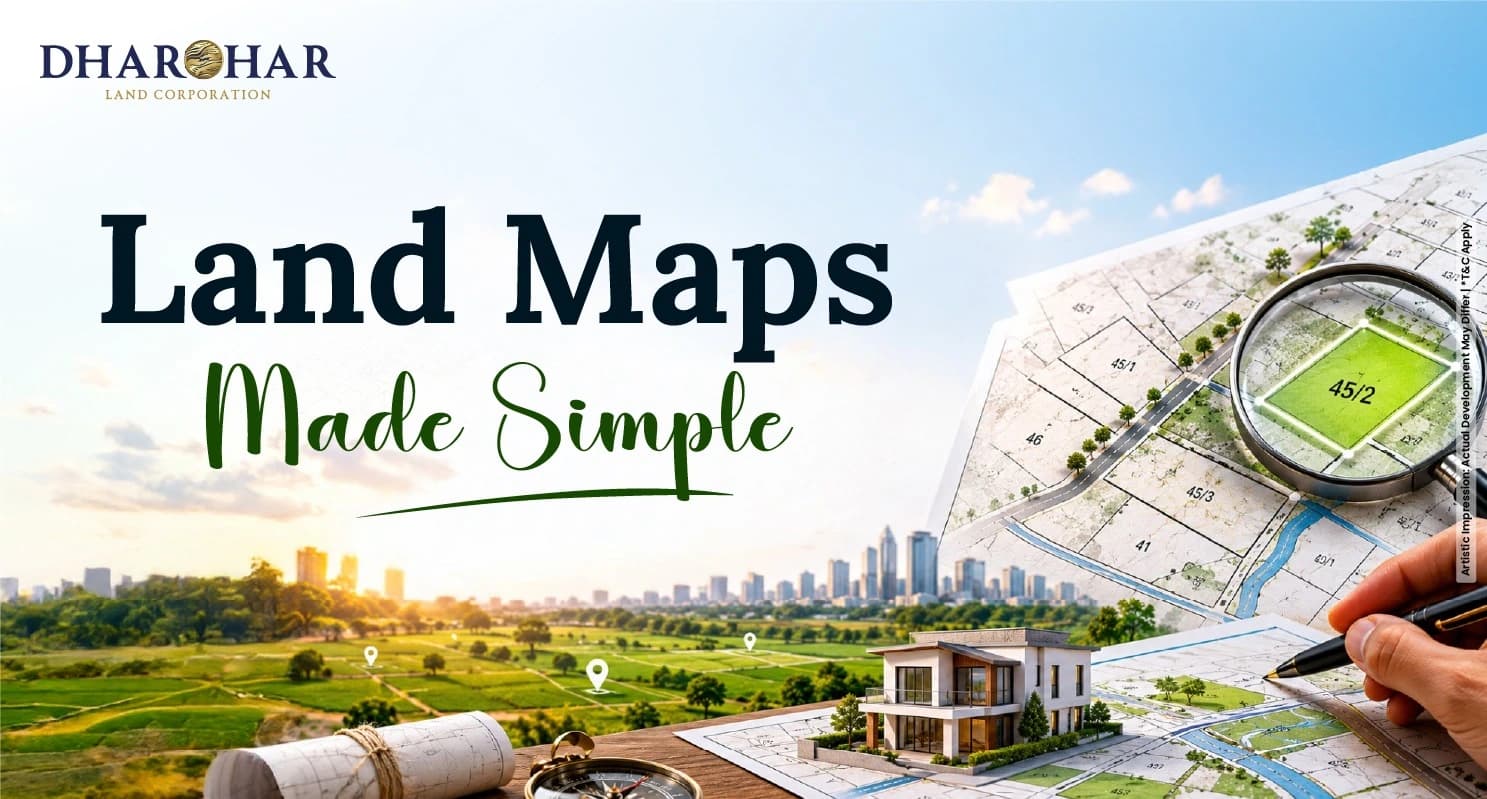
Picture this:
You've just decided to buy a piece of land.
Someone hands you a land map and confidently says, "Survey number 45/2, right there!"
You squint at the paper.
Lines.
Tiny numbers.
Arrows pointing at… nothing obvious.
You nod like you understand and then quietly spiral into confusion later.
Sound familiar?
You're not alone.
Most first-time land buyers feel exactly this way.
The good news?
It's actually not that complicated once someone explains it like a friend.
Why Understanding Land Maps Matters Before You Buy
Land doesn't come with a "what you see is what you get" guarantee like buying a phone.
Two plots next to each other can have completely different legal identities, ownership histories, and land-use restrictions.
A land map is the first document that helps you understand exactly what you're looking at and whether what the seller is showing you actually matches the official records.
Skip this step, and you might end up paying for land with a disputed boundary, an unresolved subdivision, or worse: a plot that exists on paper but not quite where you think it does on the ground.
So, What Exactly is a Land Map?
“A land map, more formally called a cadastral map, is essentially an official diagram of land parcels in a particular area.”
Think of it as a bird's-eye-view sketch of plots, stitched together like pieces of a jigsaw puzzle, each piece carrying a unique number.
In India, these are often called Bhu Naksha (which literally means "land map" in Hindi).
Government portals like state-level Bhu Naksha and Bhulekh platforms have digitized these records, making them accessible to anyone with an internet connection.
The map shows you the shape, size, and relative position of a plot, all before you set foot on the land.
Understanding Survey Numbers
“A survey number is the unique identifier assigned to a parcel of land during a government survey.”
When land officials survey a village or area, they divide it into numbered plots, each one getting its own survey number.
Simple enough, right?
Now here's where it gets interesting: land gets divided over time.
An original plot numbered 45 might be split between two brothers after a family settlement.
The result?
You now have 45/1 and 45/2.
If one of those gets divided again, you might see 45/2A and 45/2B.
As a buyer, this matters enormously.
If someone says they're selling you "Survey 45", but official records show it's now "45/1" and "45/2," you need to know which part you're actually buying and whether both sub-plots are included or just one.
Understanding Khasra numbers
“The Khasra number comes from India's revenue administration system and is closely linked to how land is tracked in rural and semi-urban areas.”
While a survey number is about mapping land on the ground, a Khasra number is about tracking it in revenue records, who owns it, who's cultivating it, and what it's used for.
In many states, Khasra numbers appear in documents like the Khasra Girdawari (a seasonal crop inspection record) and the Khatauni (a register of rights).
The Khasra number is the reference point that links a physical piece of land to its legal and revenue history.
In practice, survey numbers and Khasra numbers often align but not always. In some states, they're used interchangeably; in others, they serve distinctly different administrative purposes.
Always cross-check both.
Survey number vs Khasra number: What's The Difference?
Here's a quick side-by-side to clear up the confusion once and for all:

How To Read a Land Map: Step by Step
Let's walk through how to make sense of a cadastral map, especially if you're using a state Bhu Naksha portal:
1. Locate the plot boundary. Each plot is drawn as a polygon. Find the one with your survey number. Boundaries are usually thin lines your plot is inside them.
2. Check adjacent plots. Who are your neighbors? Shared boundaries can affect access, disputes, and even future resale value.
3. Spot roads and access points. Look for road lines; they usually appear bolder or in a different color. No road access = potential future problems.
4. Check the map orientation. Most official maps have a north direction indicator. Orient yourself to understand which direction the plot faces.
5. Note the dimensions. Some maps show plot dimensions in meters. Cross-check these with the sale deed or measurement mentioned by the seller.
6. Cross-check with official records. Once you've read the map, verify the survey/Khasra number against the state Bhulekh portal to confirm ownership, classification, and any encumbrances.
Common Beginner Mistakes to Avoid
4 Essential Points to Remember:


Wrapping it all up
Reading a land map is a skill but it's a learnable one.
Once you understand what survey numbers represent, how Khasra numbers connect to revenue history, and how to cross-check both against official portals, you're no longer walking into a land deal blindly.
You're walking in as someone who actually knows what they're looking at.
The official state Bhu Naksha and Bhulekh platforms are freely accessible and genuinely useful.
Bookmark them and use them before any visit, any negotiation, and definitely before any signing.
For safe land investments in high-growth corridors, contact Dharohar Land Corporation.
